 |
Remote
sensing releated research at the
Eötvös Loránd University based on data provided by the ELTE receiving station |
 |
||||
|
IDEA-I
|
||||||
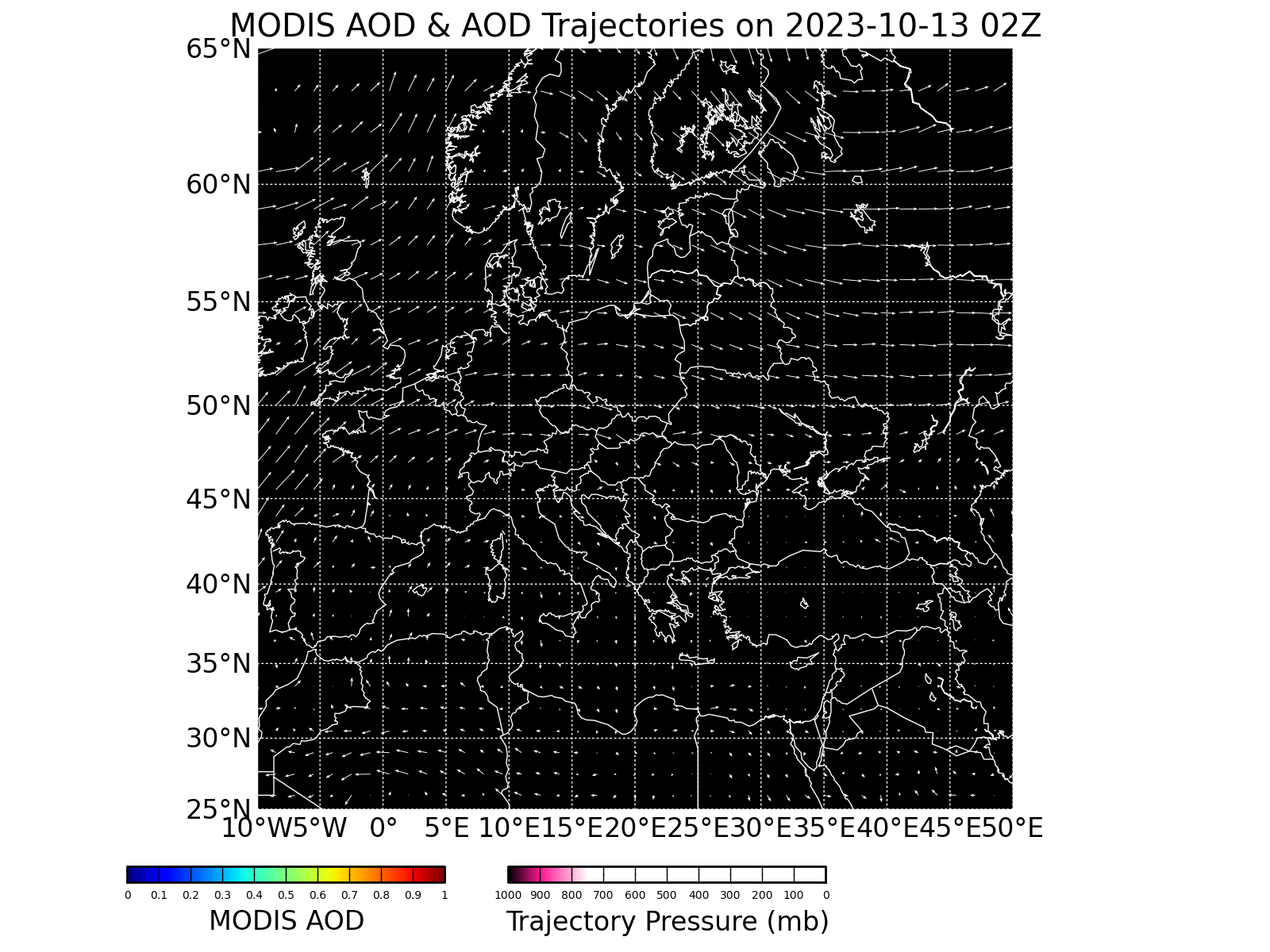
IDEA-International
Air Quality
Trajectory
forecast of aerosols (where aerosol optical depth is larger than 0.4)
over the next 48 hours based on the real-time Terra/MODIS MOD04 aerosol
products.
The
animated gif is updated daily about 18:00.
Date of the latest satellite overpass: 20170925
IDEA-I: Infusing
satellite Data into Environmental Applications - International (2012)
Model developers: James Davies (SSEC), Brad Pierce
(NOAA/STAR/ASPB),
Eva Schiffer (SSEC), Kathy Strabala (SSEC)
|
IDEA-I
|
|
References |
| Back |
28.05.2013.
|
|
The
website was designed and it is maintained by: Kern
Anikó
Copyright (C) ELTE |