 |
Remote
sensing releated research at the
Eötvös Loránd University based on data provided by the ELTE receiving station |
 |
||||
|
MODIS
images
|
||||||
|
2009
|
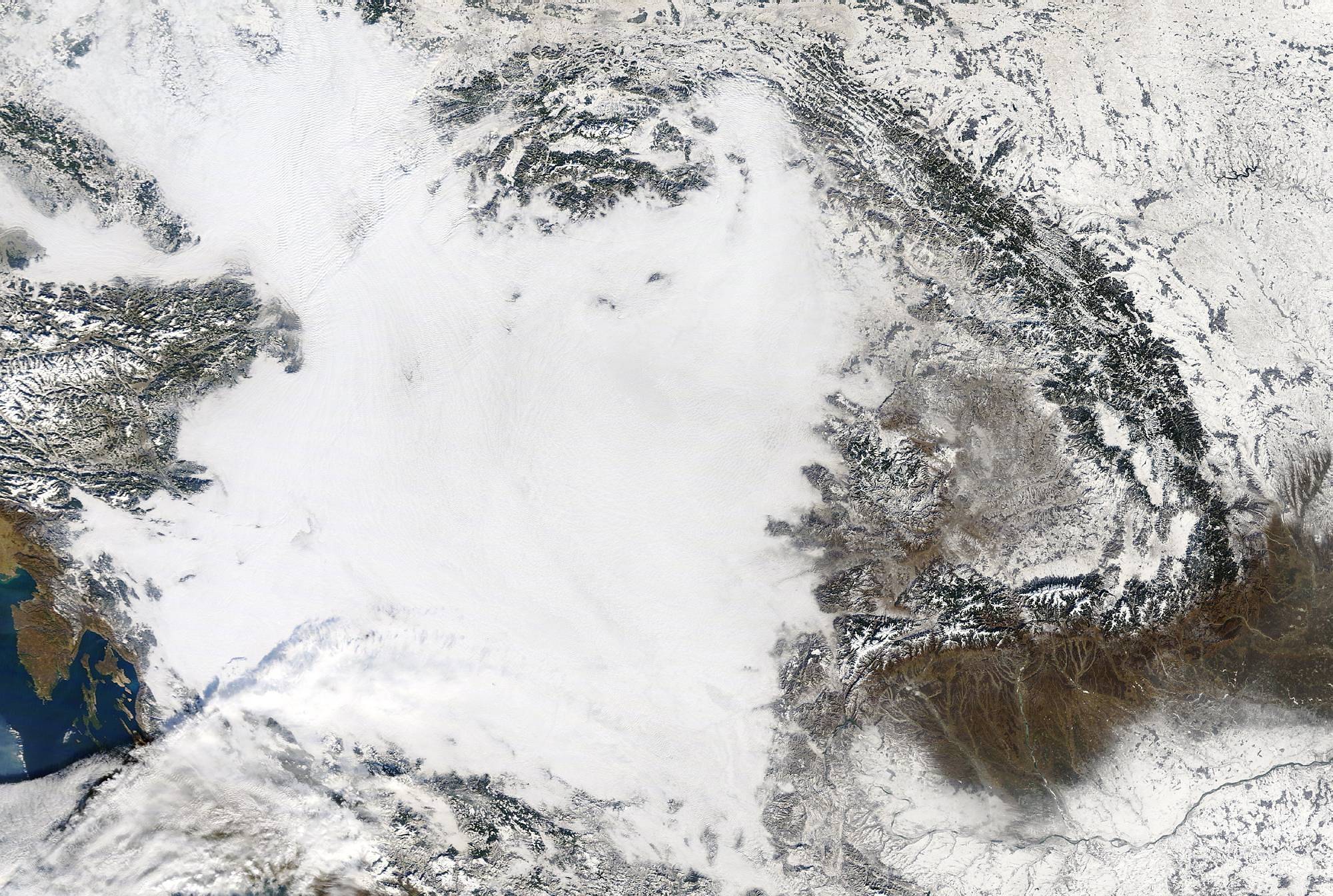
Selection of the received Terra/Aqua True Color MODIS images from 2009
 |
Fog in the valley of river Seine (Terra, 2009.12.11. 10:25) |
 |
Developing low level stratus III. - 2 days later (Terra, 2009.11.22. 09:55) |
 |
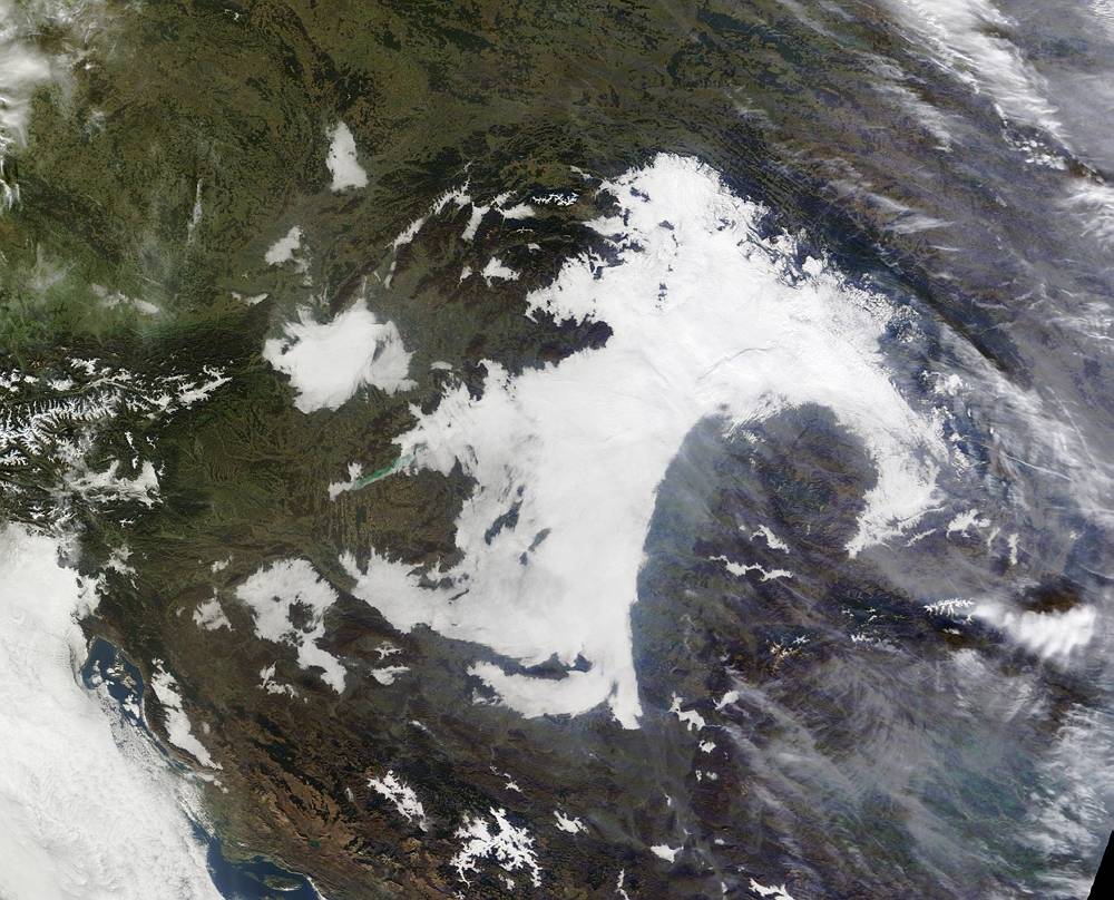
Developing low level stratus II. - 1 day later (Terra, 2009.11.21. 09:12) |
 |
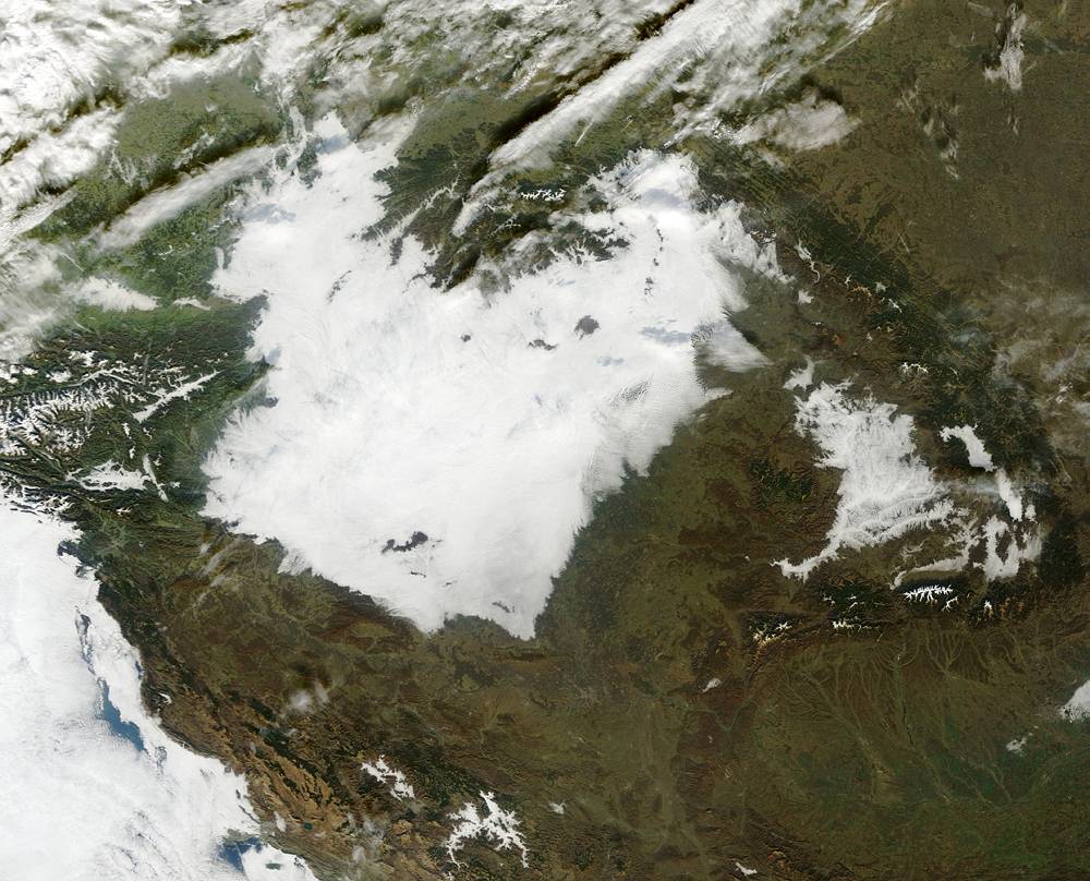
Developing low level stratus I. (Terra, 2009.11.20. 10:07) |
 |
Fog in Hungary (AQUA, 2009.11.20. 12:09) |
 |
Contrails over western Europe (Terra, 2009.10.28. 10:01) |
 |
Cirrus clouds over the Dinaric Alps (Terra, 2009.10.09. 09:31) |
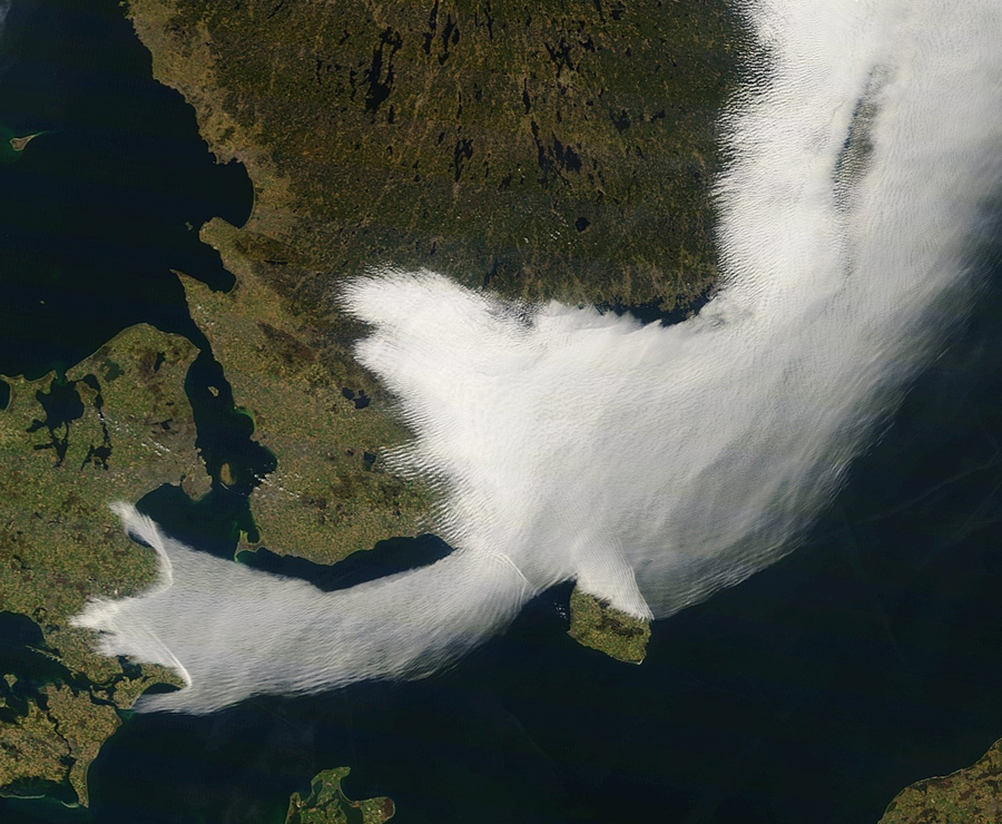 |
Fog in the western part of the Baltic Sea (Terra, 2009.04.12. 09:55) |
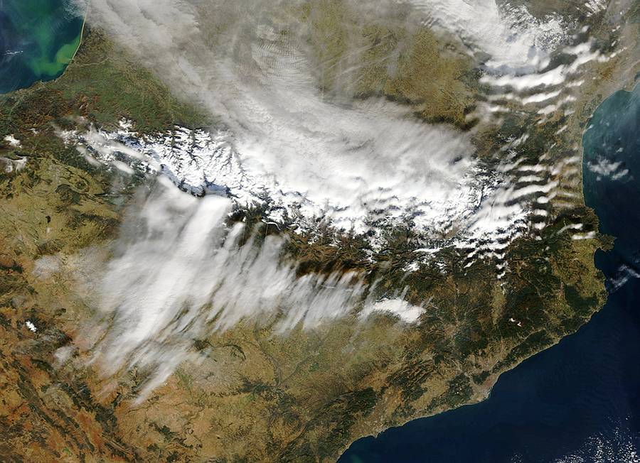 |
Wave clouds over the Pyrenees (Terra, 2009.02.17. 10:32) |
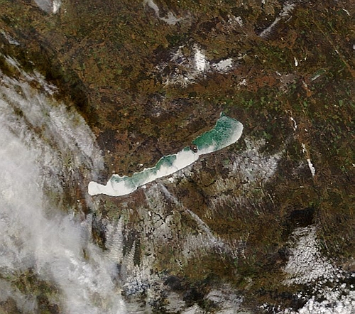 |
Lake Balaton (Terra, 2009.01.19. 09:25) |
 |
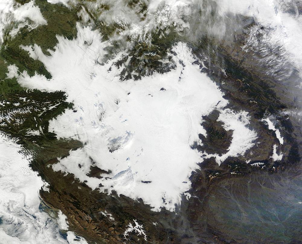
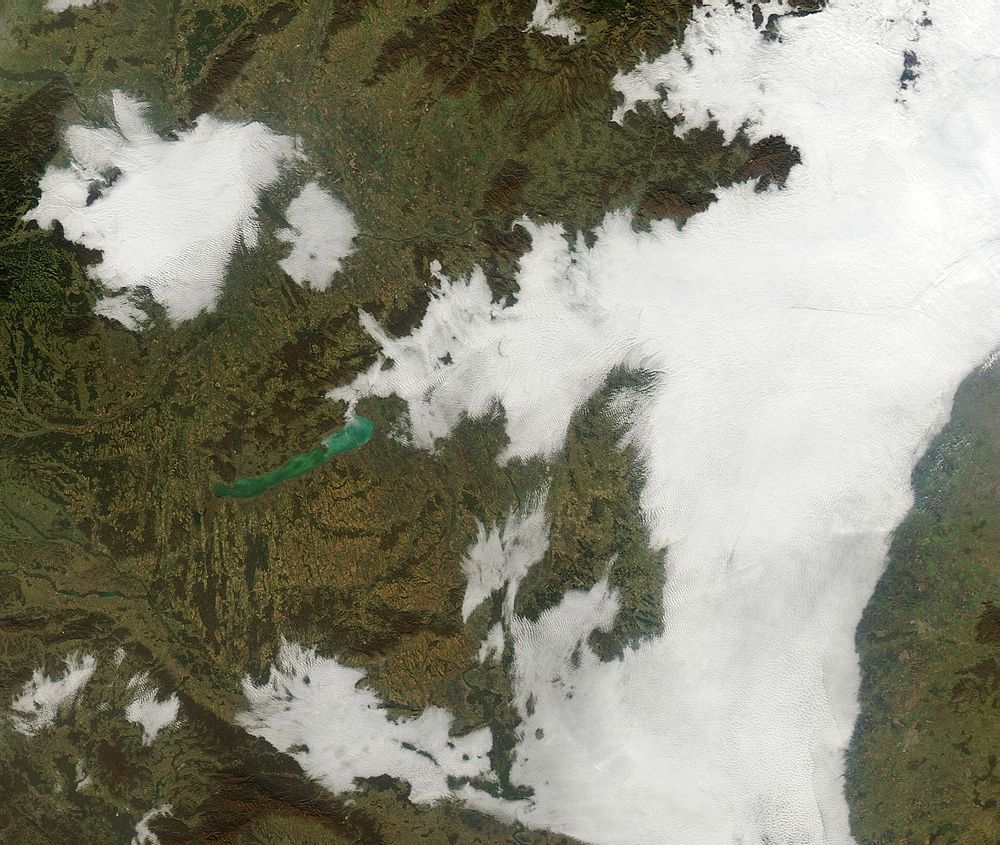
The Carpathian Basin with inversion and low level clouds Terra, 2009.01.12. 09:19 |
The
applied software is the MODIS True Color which was created by Liam
Gumley (1),
Jacques Descloitres (2) and Jeffrey Schmaltz (2), 2003.
(1) Space Science and Engineering Center, University of Wisconsin-Madison
(2) MODIS Rapid Response Team, NASA Goddard Space Flight Center
The
installation of the satellite data receiving station was supported by
the Hungarian Space Office and The Ministry
of Informatics and Communication
|
The
number of visitors since Februar 15, 2005:
|
|
| Back |
20.12.2009
|
The website was designed and it is maintained by: Kern Anikó
Copyright (C) ELTE